
Evidence-first journalism

U.S. edition

Tuesday, November 17, 2026

Breaking

Winter Storm Warning for Yosemite NP outside of the valley; San Joaquin River Canyon; Upper San Joaquin River; Kaiser to Rodgers Ridge; Kings Canyon NP; Grant Grove Area; Sequoia NP until . Source: National Weather Service.

Read the alert

Winter Storm Warning for Lassen Volcanic National Park; Sierra Nevada of Sierra-Nevada-Placer Counties Above 5000 ft Including Interstate 80; Sierra Nevada of El Dorado-Amador-Northern Alpine Counties Above 5000 ft Including Highway 50; Sierra Nevada of Calaveras-Tuolumne-Southern Alpine Counties Above 5000 ft until . Source: National Weather Service.

Read the alert

NWS Winter Storm Warning: Lassen Volcanic National Park; Sierra Nevada of Sierra-Nevada-Placer Counties Above 5000 ft Including Interstate 80; Sierra Nevada of El Dorado-Amador-Northern Alpine Counties Above 5000 ft Including

Winter Storm Warning issued November 16 at 9:58PM PST until November 20 at 4:00AM PST by NWS Sacramento CA
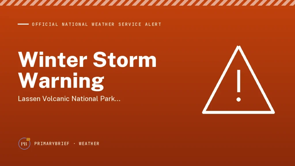
PrimaryBrief weather alert graphic: NWS Winter Storm Warning: Lassen Volcanic National Park; Sierra Nevada of Sierra-Nevada-Placer Counties Above 5000 ft Including Interstate 80; Sierra Nevada of El Dorado-Amador-Northern Alpine Counties Above 5000 f
PrimaryBrief graphic

Official National Weather Service alert. This page summarizes the NWS Winter Storm Warning issued . Official alert record.

In effect until .

Forecasts change; check weather.gov for the latest.

Official alert: Winter Storm Warning for Lassen Volcanic National Park; Sierra Nevada of Sierra-Nevada-Placer Counties Above 5000 ft Including Interstate 80; Sierra Nevada of El Dorado-Amador-Northern Alpine Counties Above 5000 ft Including . [1]

Expires: Nov 20, 2026 at 04:00 AM UTC. [1]

* WHAT…As widespread snowfall has dissipated this evening, the Winter Weather Advisory will be allowed to expire. Some lingering light snow showers may continue for the next hour or two. For the Winter Storm Warning, heavy snow expected. Total snow accumulations of 1 to 3 feet above 5000 feet, with up to 4 feet at the highest peaks. Total snow accumulations up to a foot between 4000 and 5000 feet. Light flurries to a dusting is possible as low as 3500 feet. Winds gusting as high as 55 mph. [1]

* WHERE…For the Winter Storm Warning, elevations above 4000 feet in the Sierra Nevada and southern Cascades. [1]

* WHEN…From 10 PM Tuesday to 4 AM PST Friday. [1]

* IMPACTS…Snow covered roads, travel delays, and chain controls will continue to be possible through this afternoon and evening impacting the evening commute. Travel could be very difficult to impossible Tuesday night through early Friday morning. Gusty winds could bring down tree branches and significant reductions in visibilities. [1]

* ADDITIONAL DETAILS…Lull in activity expected on Tuesday, followed by a colder, stronger system by mid-week. Snow levels 3500-4500 feet Tuesday night, rising to around 4500-5500 feet Wednesday. Heaviest snow is expected Wednesday morning into the afternoon, with snowfall rates 1-2+ inches per hour. [1]

NWS instructions: Check the latest road conditions from Caltrans online at quickmap.dot.ca.gov or dial 5 1 1. [1]

This is a direct summary of an active National Weather Service alert. Follow the official source for updates and current instructions. [1]

How this alert was made

This alert is published automatically from the official National Weather Service record, which we check against weather.gov before posting. The text summarizes the NWS bulletin; it is not original reporting. Forecasts change, so follow the link to the official alert for the latest.

Sources

  1. [1] Winter Storm Warning issued November 16 at 9:58PM PST until November 20 at 4:00AM PST by NWS Sacramento CA National Weather Service

On the record

1 source

Each amber number in the story opens the passage it relies on. The full list is under Sources.

Presented byDesk sponsor (open slot)Sponsors fund the desk, not the stories